L:
V:
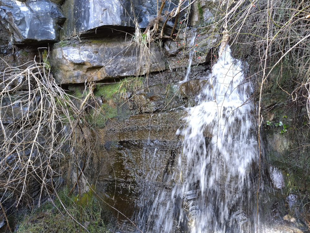
Black Rock Springs
NGR: SO 21359 12569
280 m.asl
Monmouthshire , Northern Outcrop - East (Morlais to Abergavenny)

Martin Laverty
2024
Cambrian Cave Registry entry 2024-3
 L: V: |
Black Rock Springs NGR: SO 21359 12569 280 m.asl Monmouthshire , Northern Outcrop - East (Morlais to Abergavenny) |
map using leaflet map: | ||||
| Rising | ||||||
| Access | ||||||
| Description | ||||||
| History | ||||||
| Hydrology | Tests | Tests | ||||
| Conservation | SSSI: 0080 Mynydd Llangatwg (Mixed) | |||||
| Gallery | ||||||
 Martin Laverty 2024 |
||||||
| References | ||||||
| Search for further records | Browse registry map | |||||
Cambrian Cave Registry entry 2024-3 |
© Caving Wales ⓗ Ogofa Cymru | |||||